Location – Not far from Clonaslee in the foothills of the Slieve Bloom Mountains.
OS: N 305 124 (map 54)
Longitude: 7° 32' 38.26" W
Latitude: 53° 9' 40.49" N
GPS: N 30474 12351 (Accuracy – 5m)
See map at the bottom of the page.
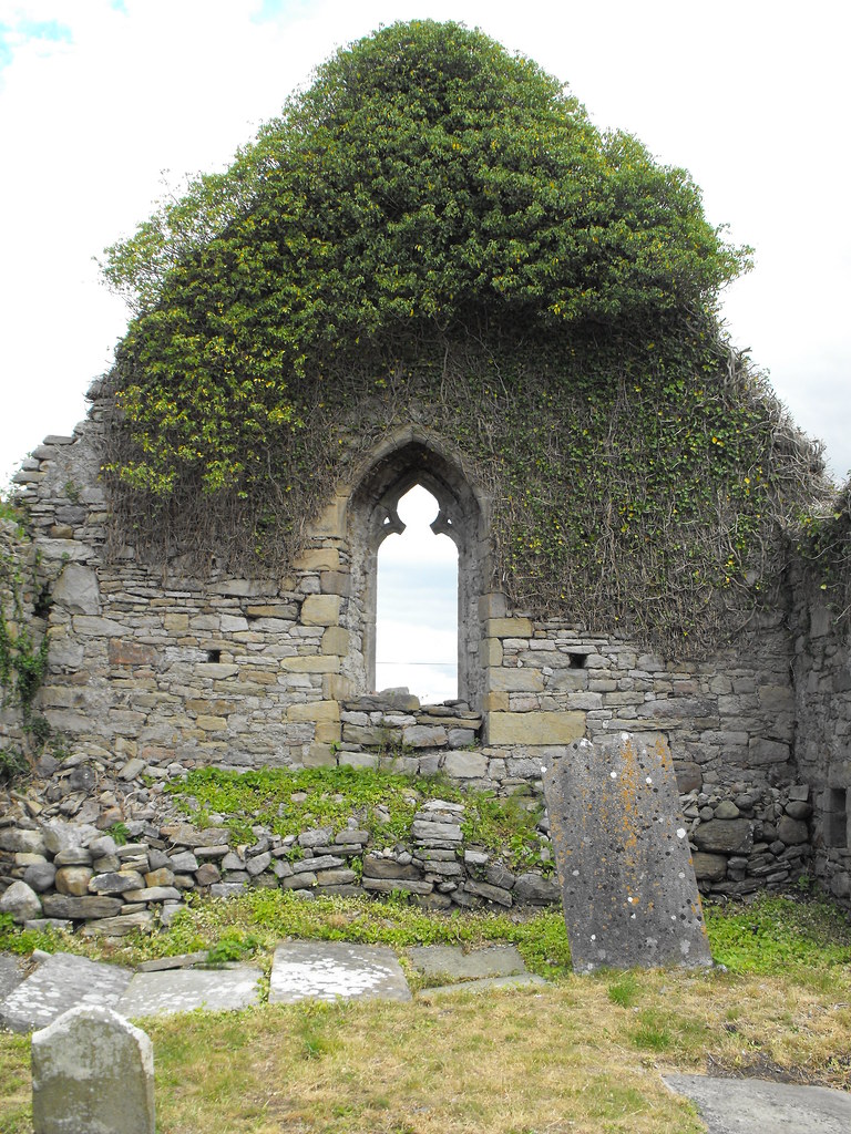
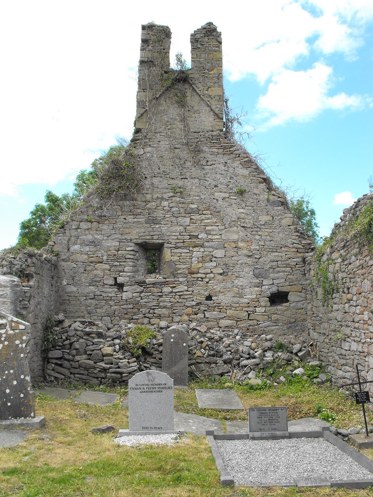
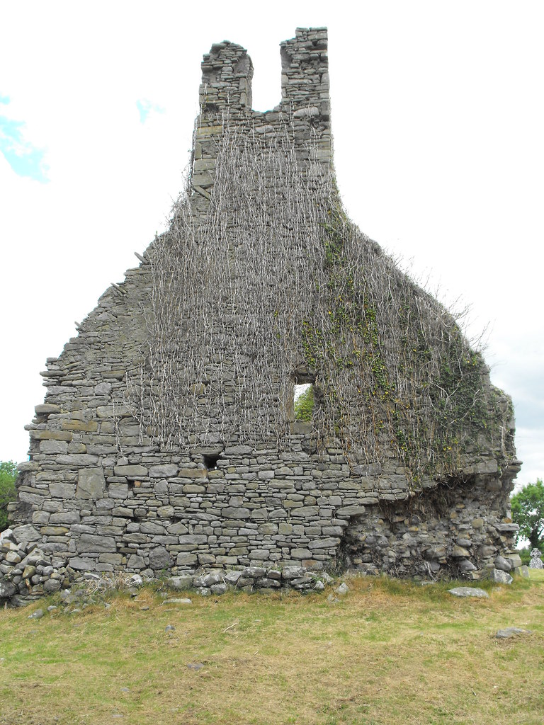
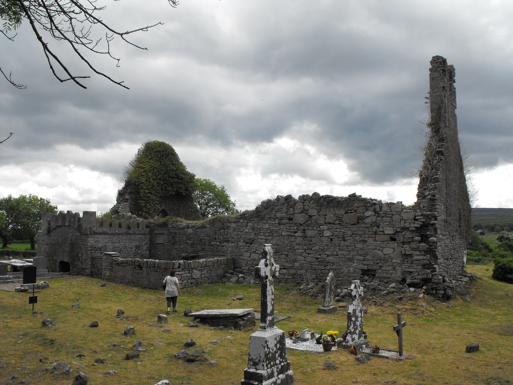
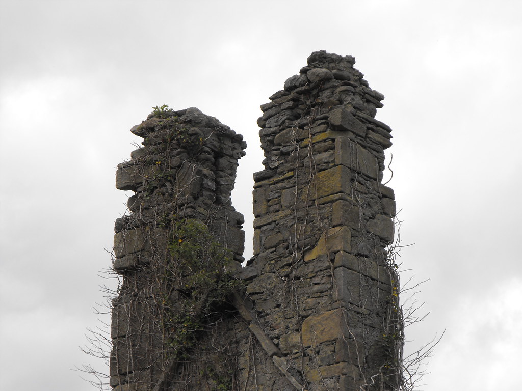
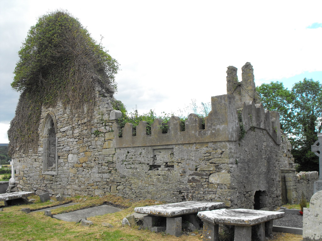
Description and History – Named after St. Manman this church was the centre of a late medieval parish and the ruin dates to the late 16th century. It’s fairly large for a parish church and is nearly 20m in length and 10m wide. The church is largely featureless but does have the remains of a bellcote. There is a small barrel vaulted chamber which appears to be much later in date than the original construction. This is a very picturesque church. There was a holy well nearby also dedicated to St. Manman but I could not find this. It was disused in the 19th century so I think all traces of this well have disappeared.
Difficulty – Easy enough to find and get to.
The remains of the bellcote.
View The Standing Stone in a larger map





1 comment:
amazing thinking about the history these stones have seen. I think that they absorbed the centuries of prayer and are like a standing prayer that is still with us. Jes
Post a Comment